On this stage I experience a period of nice weather while walking in the Okstindan area, a not well known, but very beautiful region.
When leaving Hattfjelldal I walk along road 73 towards Sweden. As I don't like roadwalking too much, I am happy when a car stops and the driver takes me to Krutvatnet, where hiking trails start again. We have a lively conversation, which I find quite interesting, because my host occasionally works with Sami people. A family needs about 500 reindeer to make a living. This year they had problems with bears, feeding on their animals, so two of them got shot. In my view this is sad, because big predators like bears and wolves belong to these wild landscapes, but on the other side, it is understandable as well that the reindeer herders don't like to get their stock eaten...
I leave the car at Krutvatnet, where a sign gives some information about the Nordlandsruta which I will follow for some time, a 550 km long distance trail from the Narvik area to Børgefjell, which is not well known.
Nordlandsruta- an almost forgotten long distance trail
Along the lake is a good number of weekend homes, swampy parts are conveniently bridged!
Some willow grouse chicks are hiding in the grass, only one of them stays on the planks, cheeping for her mother, which seems not to be afraid, looking after her young child, only five meters away from me!
Willow Grouse chick
The mother is not afraid of me
At the end of the weekend home area, there is a nice, free to use hut, belonging to the Norwegian forest service statskog, but of cause, it is far to early for me to stay...
Away from Krutsvatnet I cross birch forests before I get on the open, green tundra. The blue and white markings of the Nordlandsruta are still visible, but quite faint...
Above Krutvatnet
First I spot one sea eagle in the sky, but then, shortly after another four of them, are starting from the ground, flying away from me! What a majestic sight, but surely I am too slow to get a picture...
Getting to the spot where they had been, I find a dead reindeer. Obviously they were feeding on it, vulture style! I didn't know before, that sea eagles have this habit, but that was exciting!
I am sure, that an eagle is not capable to kill an adult reindeer, so probably its death had another cause.
Five sea eagles were feeding on the reindeer carcass
When I descent into a valley, I follow a gravel road for some time. There is no traffic, besides a car, with two kayaks on top. The Norwegian driver stops, and it turns out, that in 2003 he walked Norge på langs with a friend! Nice to meet somebody to share experiences!
Finally I leave the road and ascent into the birch forest. It is a mild evening and I enjoy sitting outside and cooking.
Next morning there is not one single cloud in the sky and the temperature is already 9 C°!
I follow a valley with some small lakes and then ascent to a pass. Like usual there are good trail markings, but not a real trail. The hiking areas in Norway south of the arctic circle just get little use...
On the pass beautiful vistas open: The glacier covered massif of Okstindan appears to be very near, hosting northern Norway's highest peak with 1916 m altitude. Many flowers add colour to the landscape and finally the green of spring has definitely arrived, o.k probably on July 20, it must be called summer, but it feels and looks more like spring...
Okstindan!
I especially like the open birch forests in the valleys, with occasional rowan trees, sometimes stripped of their bark by moose, up to 3 meters!
Moose peeled off the bark of Rowan trees
In wet areas the white of the cotton grass adds another accent.
Cottongrass
The snow covered mountains rising above the large Rossvatnet are another beautiful sight.
 |
Rossvatnet
When I descend to Storelva I cross a lush birchforest full of ferns and flowers, thanks to the rich limestone soil.
With sunshine and high temperatures an unexpected disturbance has arrived: Lots of horseflies! But fortunately they seem to be more interested on my smelling socks than on me...
Lush birch forest
Horseflies
The suspension bridge across Storelva is quite interesting, of cause not dangerous, but I could imagine that the shaking bridge high above the river is not for everyone....
Suspension bridge at Storelva
After a brief visit to Rossvatnet I climb up to the very beautiful Spettfjelldalen with moorland, birches and a meandering river. The views across the valley to Rossvatnet and the Okstindan massif are breathtaking!
View across Spettfjelldalen
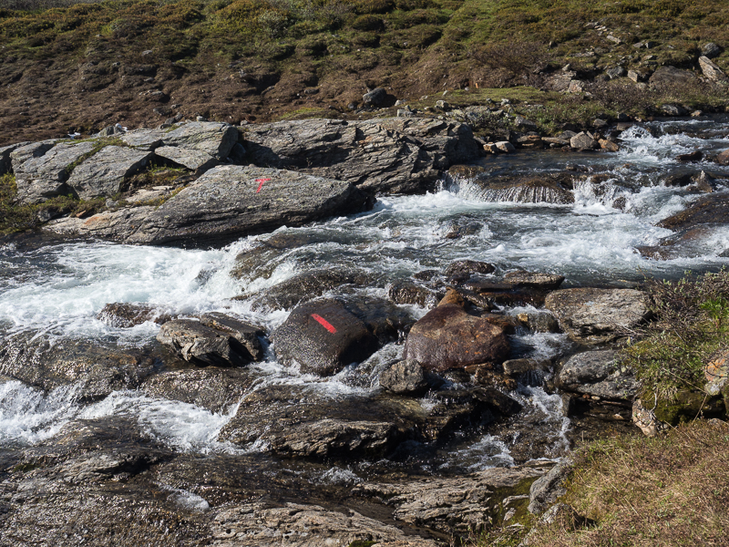
The trail is well marked, but one creek crossing could be rather difficult at high water levels, but pose no problem today.
Wading the wild creek
Usually I cook dinner, when in camp, but today the weather is so beautiful, that I take a long break to cook on the river and enjoy the warm sun. As most of the time, so far, I have eaten in the tent, this feels very good. Sun and warmth are really nice!
Evening dinner en route
While I am eating, I meet the first hikers since Dovrefjell! Marit and her teenage kids are doing a weekend trip.
As it turns out, that Marit is the tourism manager of the region we chat for quite a while.
Okskoltan, the highest peak of northern Norway was first climbed in 1883 by a frenchman and his sami guide. To celebrate this, in 2014 a new hut named Rebeaux after the guy who climbed it first, was opened on Okskoltan. The area is very beautiful, but so far receives only few tourists. Probably I like it like this....
Norwegian weekend hikers
I walk to a Kota, where it is possible to sleep for free, but the interior is a bit grubby, so I prefer to camp.
Next morning I continue in Spettfjelldalen and reach the large Gressvatnet, where a DNT- Hut is located. Marit who slept there with her kids, invites me for coffee, and we chat another 2,5 hours, very interesting!
For some time I follow the rocky shore of the artificial lake.
Near Gressvatnet
Again, it is a perfect, warm and beautiful day, the nice side of Norway...
And although I wear a T-Shirt all day, the northern wind keeps the insects at bay...
The yellow of the Globeflowers
In the evening after having a dinner break, I cross a fantastic, rugged granite landscape.
Granite dominates the area
When around eight in the evening I reach tiny Grasfjellkoia, the temperature is still 17 C°!
The cabin is owned by the Rana Turistforening and has everything what a hiker needs, but none of the super luxury stuff many other Norwegian huts have. Stove, table, wooden bench. Perfect! Of cause, in this beautiful weather there is no need to sleep in the hut, but it is so cozy, that I can't resist! In the guestbook I read the writing of a german woman, hiking across Norway. It is heard to believe, but some months later I will meet her in Patagonia!
|

Grasfjellkoia
It is such a calm, and beautiful evening, that soon I am off for a leisurely stroll! A lot of small birds are around, all of them busy to feed their hungry offspring!
Around Grasfjellkoia
Beautiful evening
It is unbelievable, the nice weather continues! When I start at 6:30 it is already 12 C°! Soon I walk in T-Shirt again. The terrain is quite difficult with a lot of ups and downs while I walk above the large Grunnvatnet.
Another fantastic hiking day
Before I reach Umbukta I meet father and daughter from Sweden, just having started the second part of their Norge på langs trek.
Umbukta, is somewhat important to the hikers crossing the length of Norway, as it marks the middle of the distance! There is a small hotel and restaurant, which has the reputation of being kind to hikers. Norge på langs wanderers are allowed to stay there for free one night long. I don't intend to stay, but have lunch, in hope of meeting the legendary owner Thor- Inge, who has already completed Norge på langs two times. Unfortunately he is not present, but anyway, the food is good and a nice change to my usual diet...
Umbukta Fjellstue